46°37’39.5”N 60°25’19.1”W
Some places are built.
Others discovered.
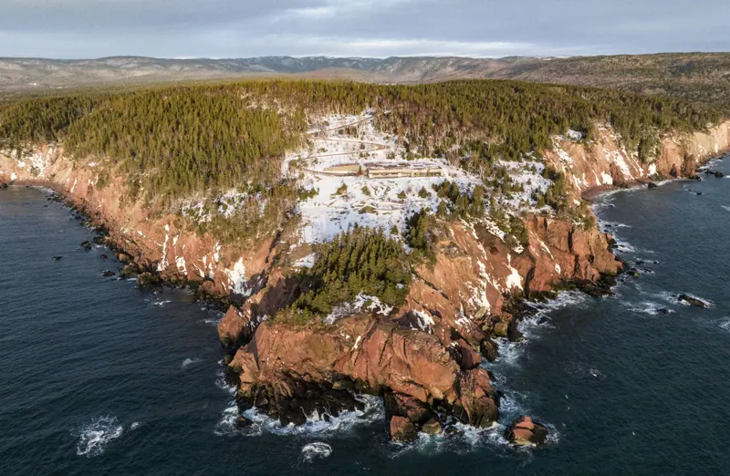
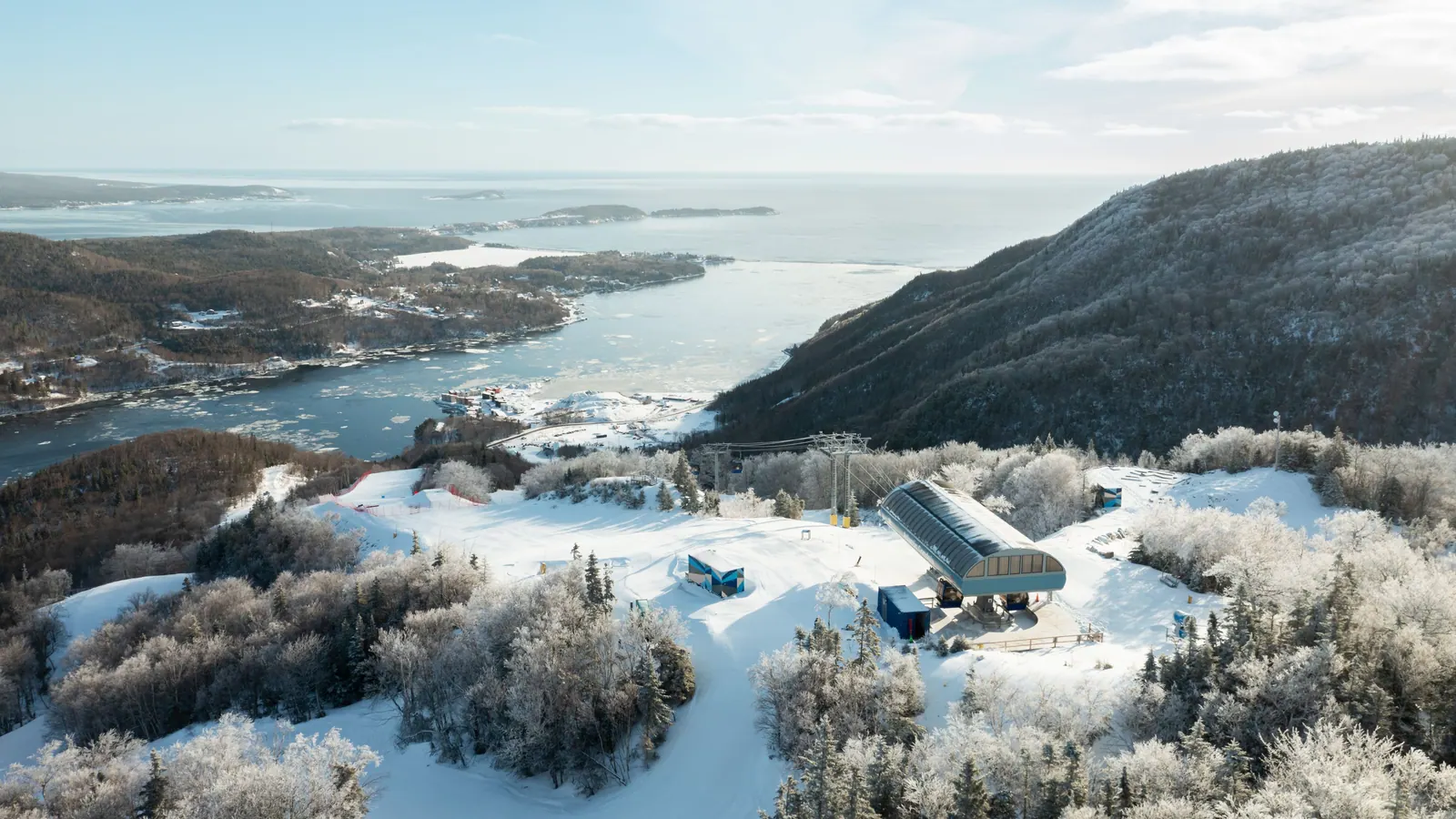
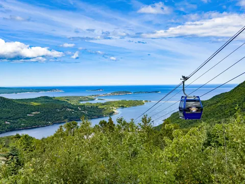
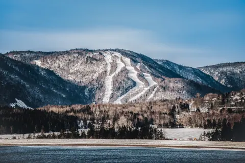
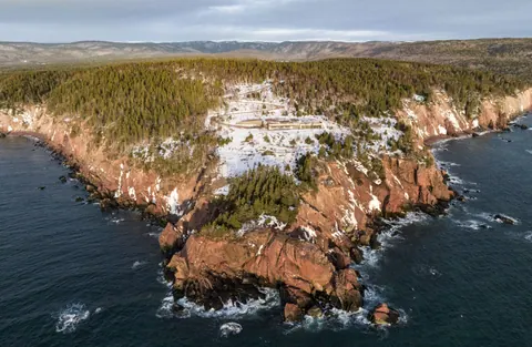
Cape Smokey is where the mountains meet the Atlantic. Set along Nova Scotia’s iconic Cabot Trail, it’s a place shaped by wild landscapes, ocean views and a different kind of mountain experience. Ride Atlantic Canada’s first gondola, explore the mountain by foot or ski, stay by the sea, and discover a destination that continues to grow while staying true to the landscape and character that make it unlike anywhere else.
Discover activities on the hill & around it.
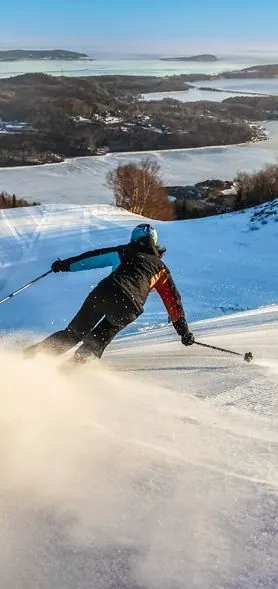 Skiing
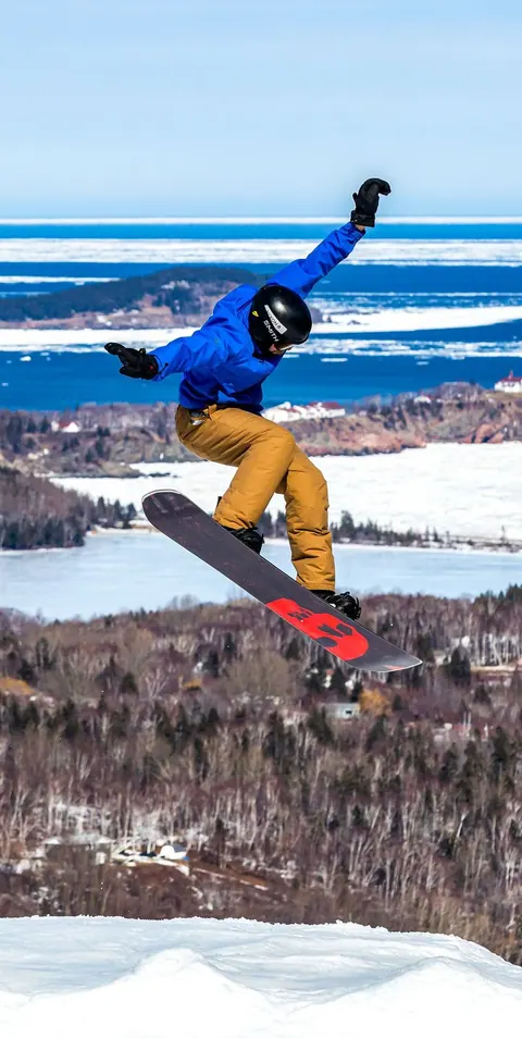 Snowboarding
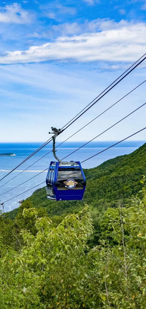 Gondola
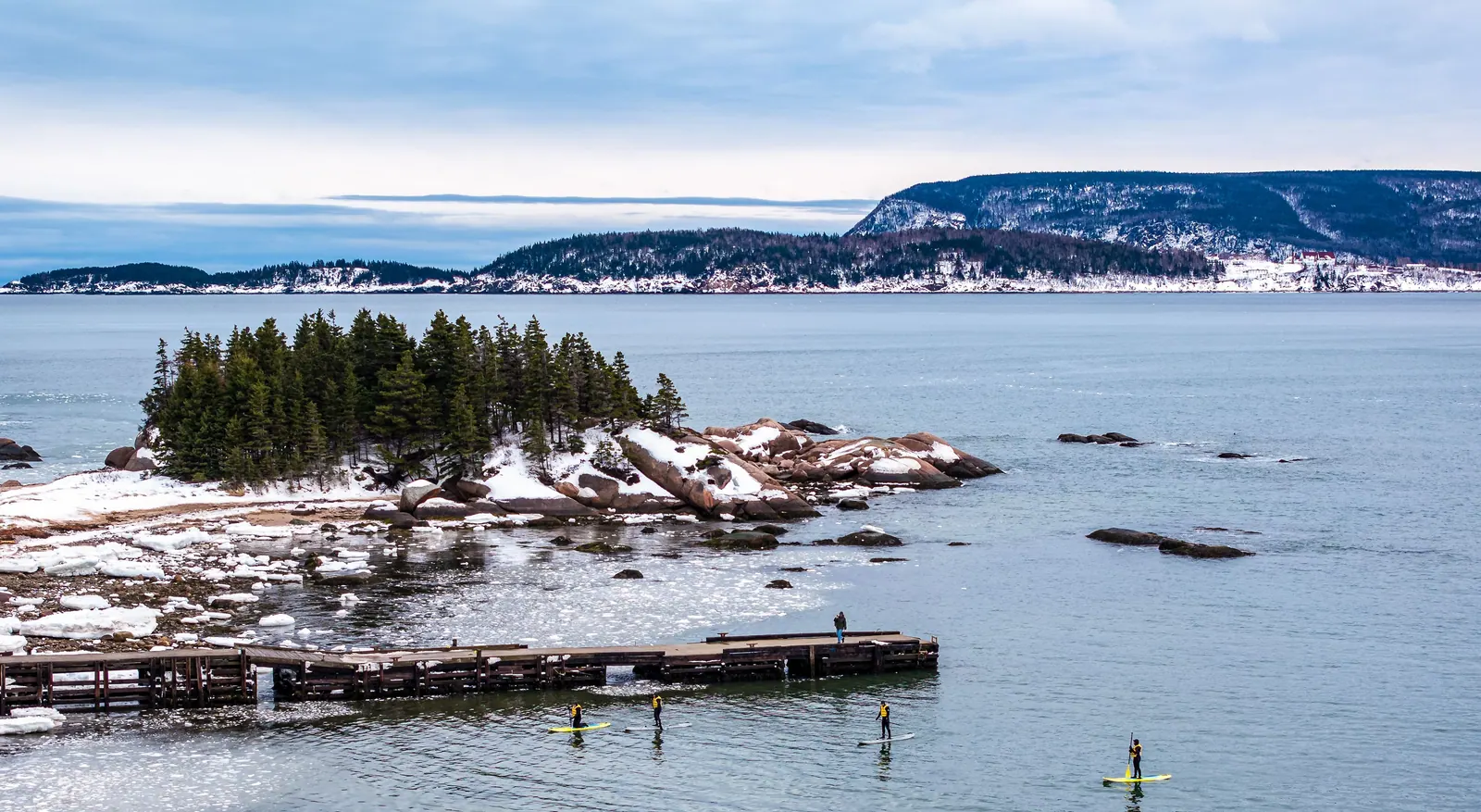
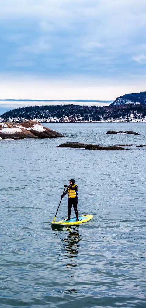 Paddle boarding
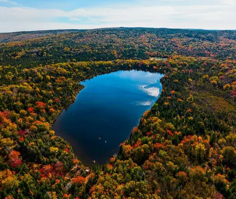 Kayaking
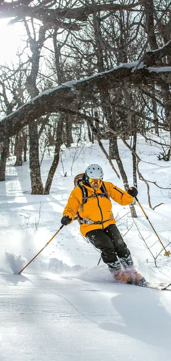 Glade Skiing
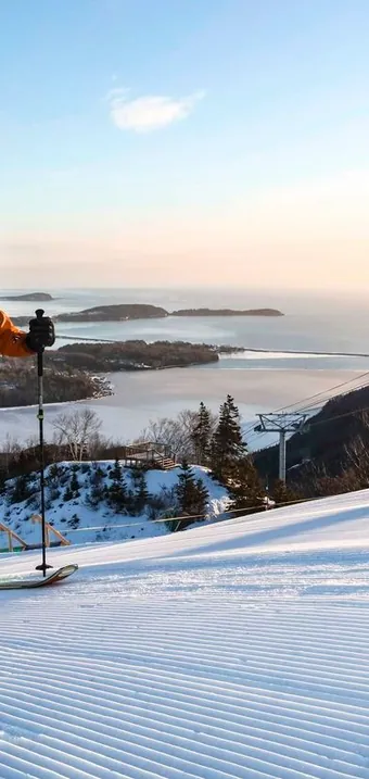 Ski Touring
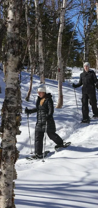 Snowshoeing
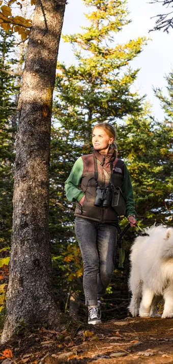 Hiking Trails
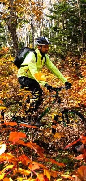 Mountain Biking
 Disc Golf
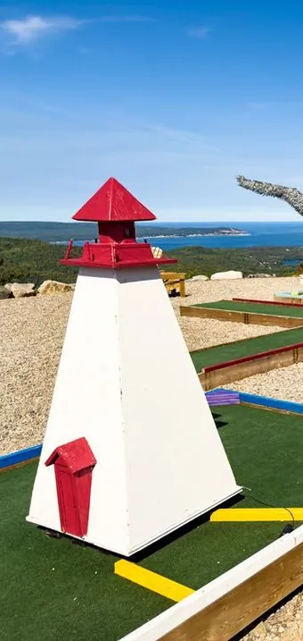 Mini Golf
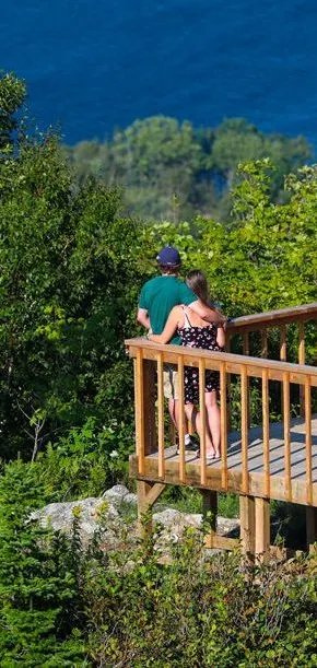 Lookouts
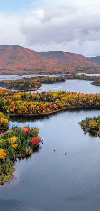 Fall Colours
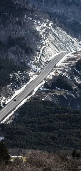 Cabot Trail
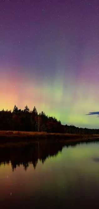 Northern Lights
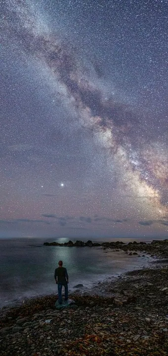 Stargazing
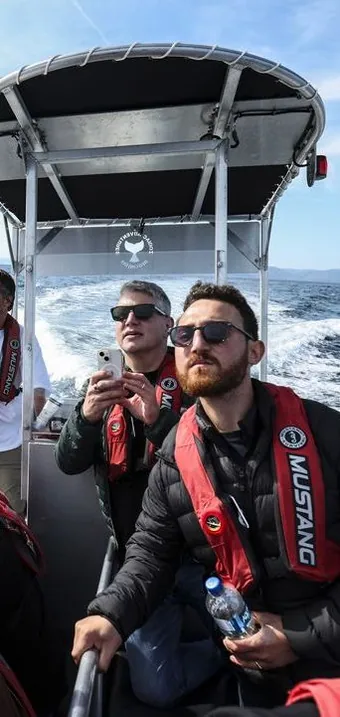 Guided Boat Tour
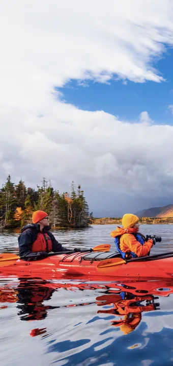 Canoe Adventure
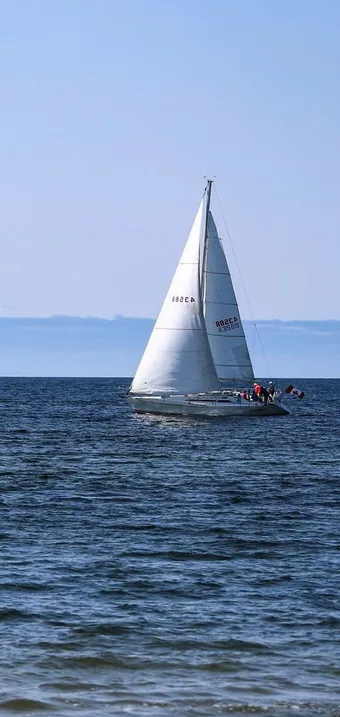 Yachting
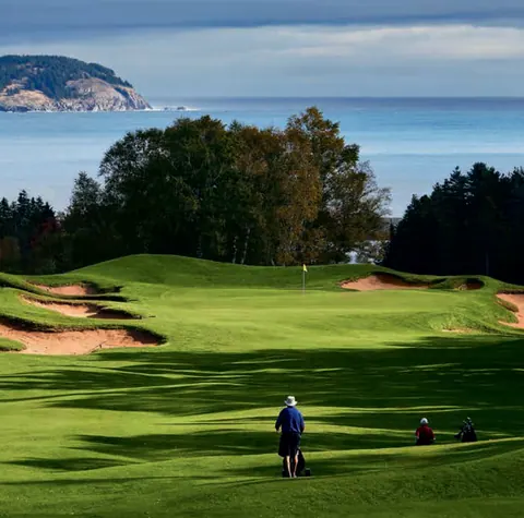
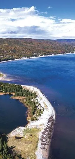 Golf
Golf
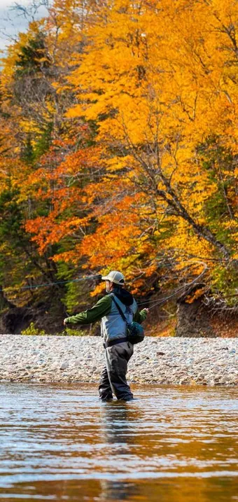 Fishing
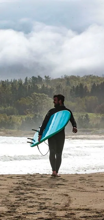 Surfing
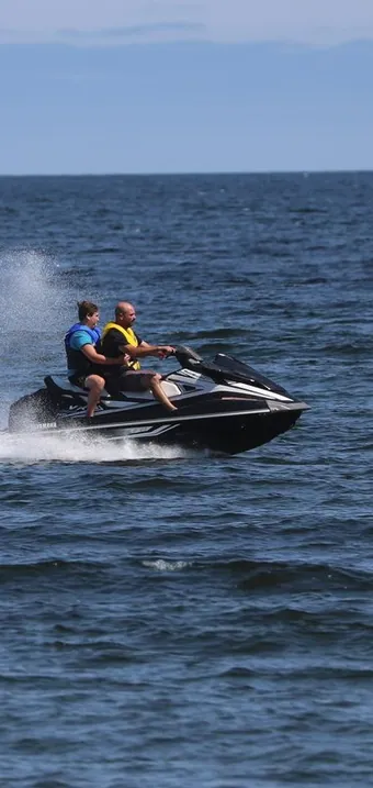 Jet-Skiing
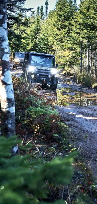 Trail-blazing By ATV
 Seasonal Events
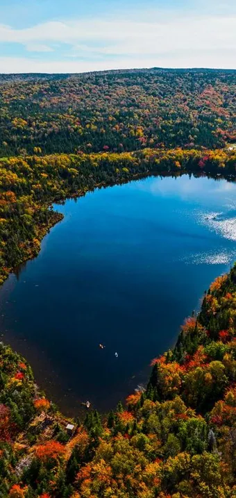 Hawley Lake
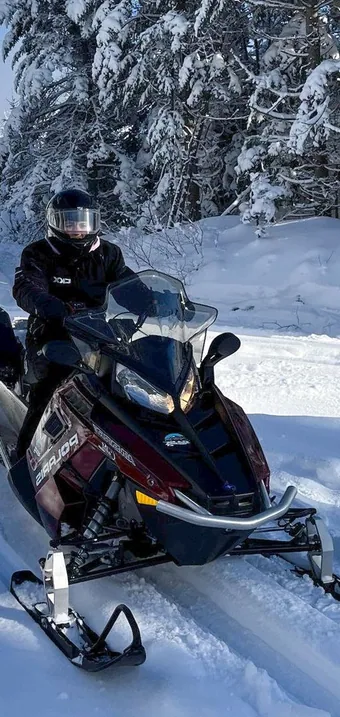 Snowmobile
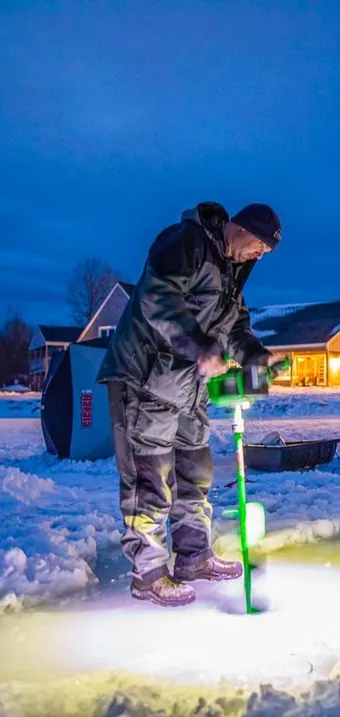 Ice Fishing
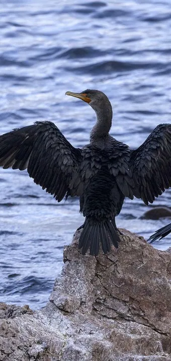 Wildlife Watching
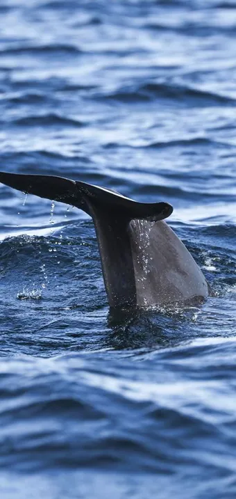 Whale Watching
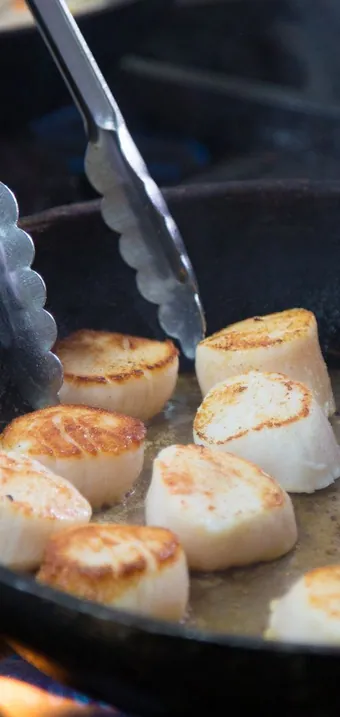 Taste of the Region
 Seasonal Farmer’s Markets
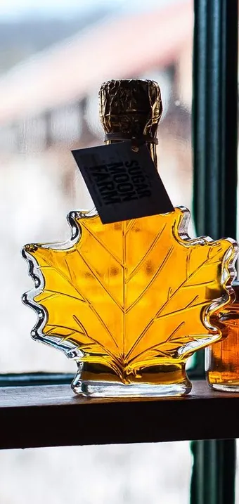 Maple Harvest Traditions
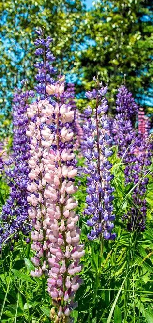 Wildflowers
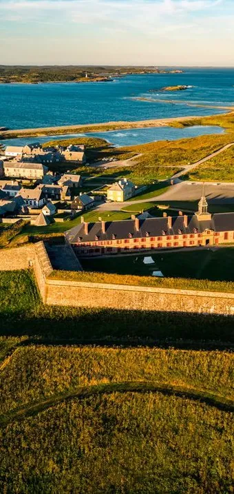 Heritage & History
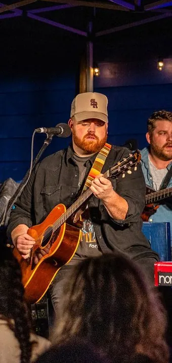 Music Nights
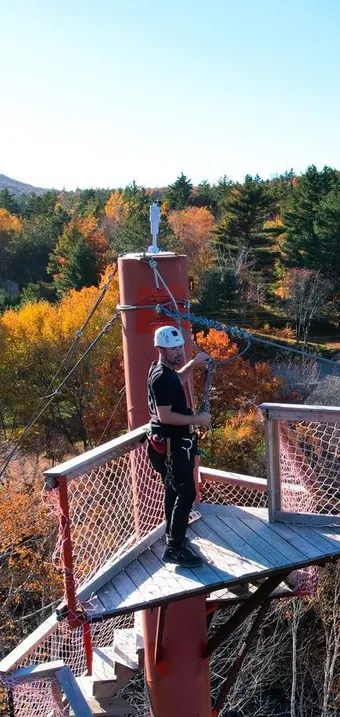 Zip Line
 Tennis
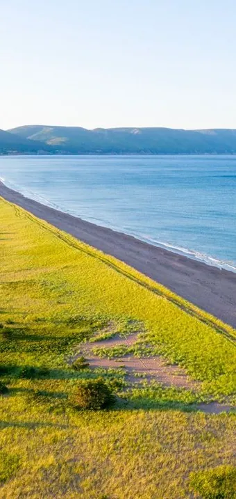 Beach Walks
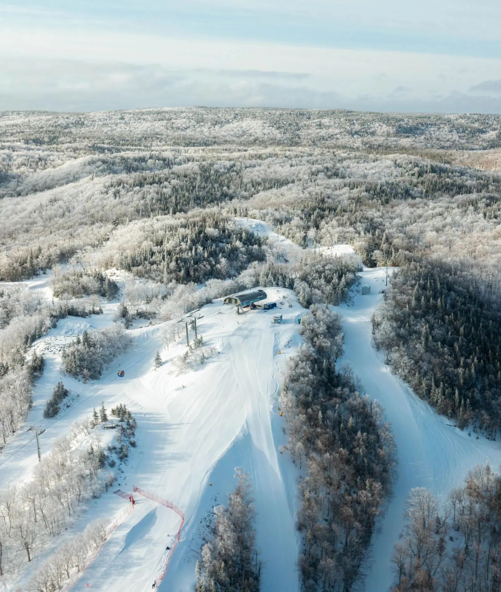
News what’s up at Smokey
More info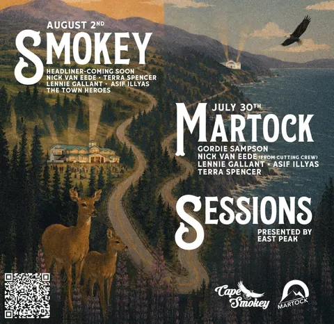 SMOKEY & MARTOCK SESSIONS
Aug 2 & July 30
This summer, Martock and Cape Smokey come together for a new live music experience celebrating the artists, places...
SMOKEY & MARTOCK SESSIONS
Aug 2 & July 30
This summer, Martock and Cape Smokey come together for a new live music experience celebrating the artists, places...
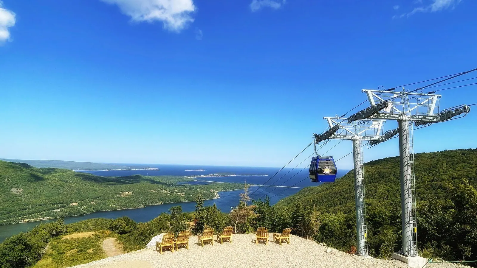 Cape Smokey & Cormorant Rock: The Ultimate Cabot Trail Escape Where the Mountains Meet the Atlantic
If you've ever dreamed of waking up to the sound of the ocean, spending your day exploring mountain trails, and...
Cape Smokey & Cormorant Rock: The Ultimate Cabot Trail Escape Where the Mountains Meet the Atlantic
If you've ever dreamed of waking up to the sound of the ocean, spending your day exploring mountain trails, and...
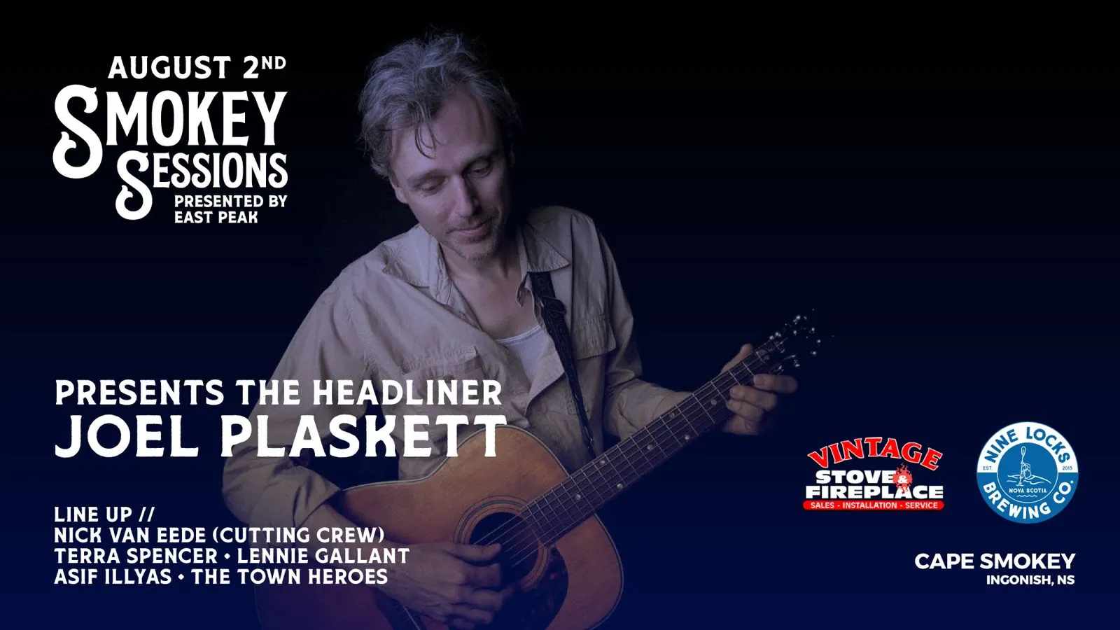 Joel Plaskett to Headline Smokey Sessions at Smokey
Saturday, August 2
Smokey is proud to announce that acclaimed Canadian singer-songwriter Joel Plaskett will headline Smokey Sessions on...
Joel Plaskett to Headline Smokey Sessions at Smokey
Saturday, August 2
Smokey is proud to announce that acclaimed Canadian singer-songwriter Joel Plaskett will headline Smokey Sessions on...
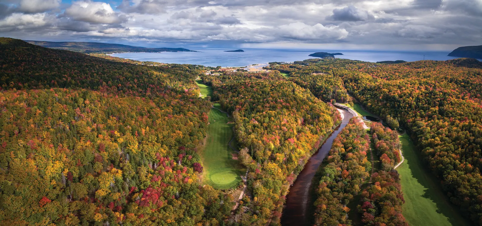 Where to Stay & Play: Golf Experiences Around Cape Smokey
Cape Smokey has always been known for its landscape - where ocean, mountains, and open space come together in a way...
Where to Stay & Play: Golf Experiences Around Cape Smokey
Cape Smokey has always been known for its landscape - where ocean, mountains, and open space come together in a way...
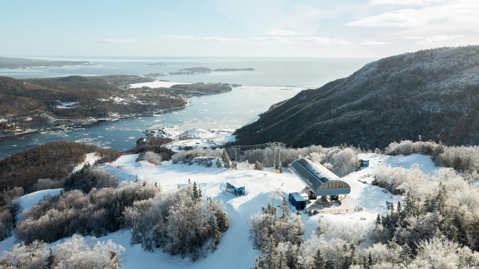 A Season That Really Delivered - One Last Weekend | Final Day: April 25
Final day: April 25
As we head into the final weekend, we want to take a moment to say thank you - genuinely. To our entire Smokey team...
A Season That Really Delivered - One Last Weekend | Final Day: April 25
Final day: April 25
As we head into the final weekend, we want to take a moment to say thank you - genuinely. To our entire Smokey team...
Where to stay at Smokey
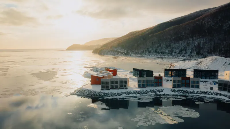
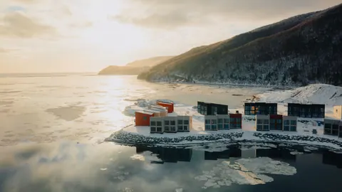
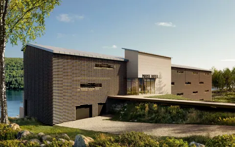
Wake up by the Atlantic, with Cape Smokey just moments away. From contemporary ocean-front chalets at Cormorant Rock to the relaxed seaside setting of Lantern Hill & Hollow, staying at Smokey means keeping the mountain, the ocean and the Cabot Trail right outside your door.
Come for the views.
Stay for everything around them.
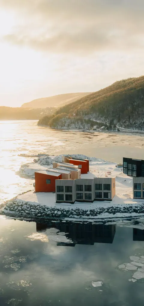
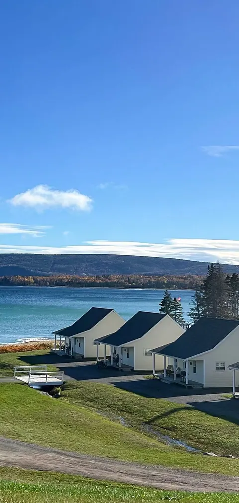
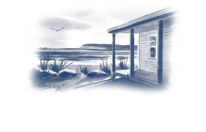
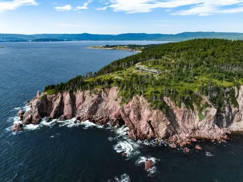
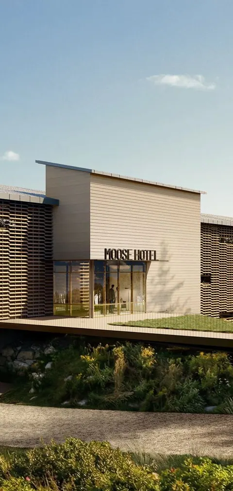
Same mountain different seasons
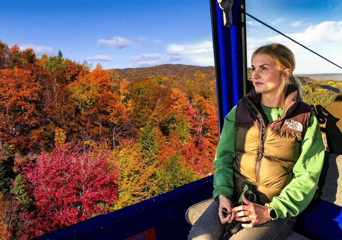
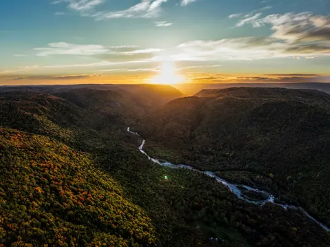
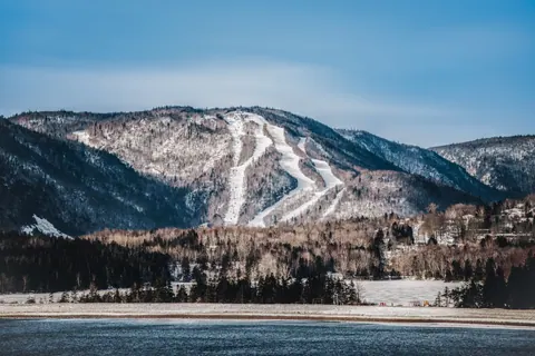
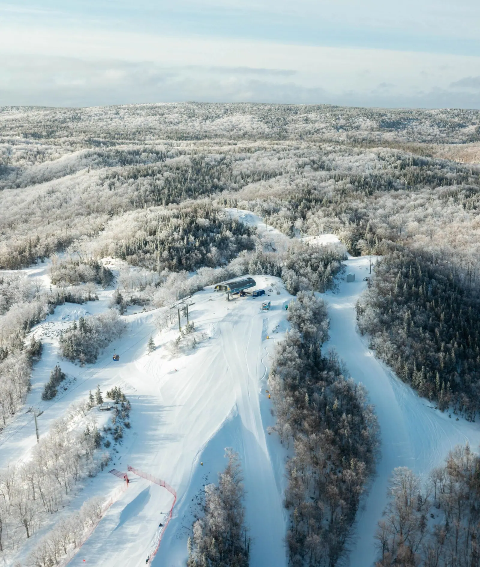














Layers & legend
CAPE SMOKEY · NOVA SCOTIA
Explore every
way up.
ACTIVITIES
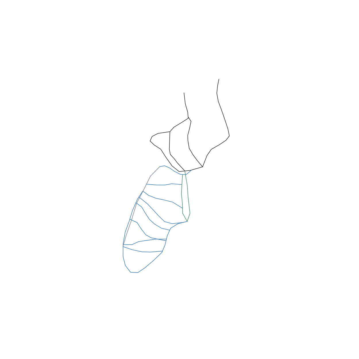
SKI RUN DIFFICULTY
- EASY
- MODERATE
- VERY DIFFICULT
- MOST DIFFICULT
Trails
WINTER · TRAIL DIRECTORY
TRAILS
16 numbered routes from the KMZ
- 01Bunny HillEASY
- 02Country MileEASY
- 03Racers EdgeMODERATE
- 04Hecklers HighwayMODERATE
- 05BoomerangMODERATE
- 06Racing PitchMODERATE
- 07Chicken ChuteMODERATE
- 08Jigs & ReelsEASY + MODERATE
- 09Sneek A PeekEASY
- 10Pit FallVERY DIFFICULT
- 11Cliff HangerMOST DIFFICULT
- 12Check Me ShortsMOST DIFFICULT
- 13Hickory Dickory & DockVERY DIFFICULT
- 14Far SideMODERATE
- 15Snowboard HeavenMODERATE
- 16ChokerMOST DIFFICULT
10 · 11 · 12 · 13 · 16 NOT GROOMED
Read the map
READ THE MAP
SKI DIFFICULTY
Same colors for current + future
● Beginner / easy
Green · current + future
■ Medium / intermediate
Blue · current + future
◆ Difficult / advanced
Black · current + future
Lifts · gondolas · POMA
Same navy cable style
C / D / E codes identify future runs. Ratings follow the conceptual master plan.
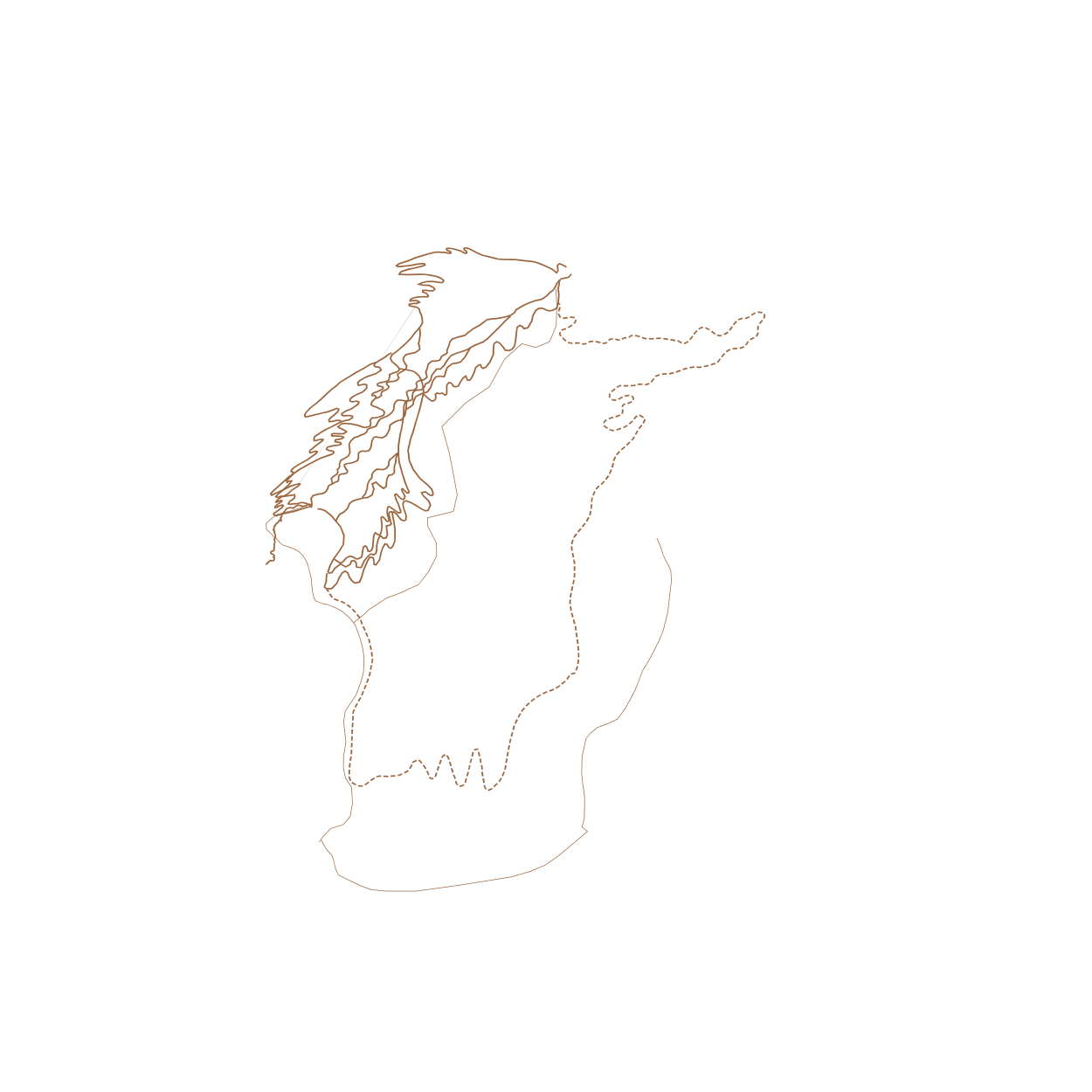
- Summer trails · copper
- Alpine Coaster · red
- Snowmobile · purple
- Cabot Trail · main road
SUMMER TRAIL NETWORK
Copper · all hiking + biking trails
Red · Alpine Coaster options A / B
Solid · hiking / downhill MTB
Dashed · Enduro mountain biking
Click a point or route for information.
FUTURE OF SMOKEY
SKI EXPANSION
Connected ski corridors
Lifts C / D / E
SUMMER EXPANSION
Golf · campground · recreation
SUMMIT EXPERIENCES
Mi’kmaw Basket Tower
The Cube · Tree Walk
SEASIDE VILLAGE
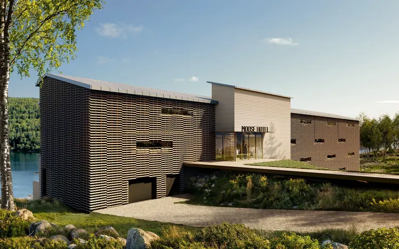
Marina · hotel · spa
Roads · parking · waterfront
CORMORANT ROCK
Chalet footprints · decks
Roads and pedestrian access
CAPE SMOKEY · JUNE 2026 MASTERPLAN + IMPORTED MAP + RESORT REFERENCES / ZOOM FOR DETAILS · CONCEPTUAL LOCATIONS
Become part of the long-term vision Real estate at Cape Smokey
own a piece of Smokey
Become Part of Cape Smokey’s long-term vision. Explore current and future real estate opportunities within our growing mountain and coastal community.
Own at Smokey